
Submerged Hazards
The Port District recently contracted with the firm Woolpert to perform bathymetric mapping services of the harbor to assist in identifying submerged debris and other underwater hazards. While no known hazards currently exist in the main channel, and both the north and south harbor channels are open for suitable vessel traffic, several submerged hazards exist in the fairways. Below is a map of all identified submerged hazards. The Port District and its marine salvage contractor are working to remove the submerged hazards as quickly as possible.

SOUTH HARBOR
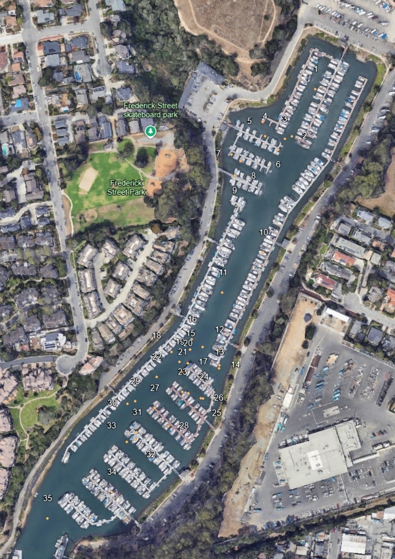
NORTH HARBOR